Tracts and tenure
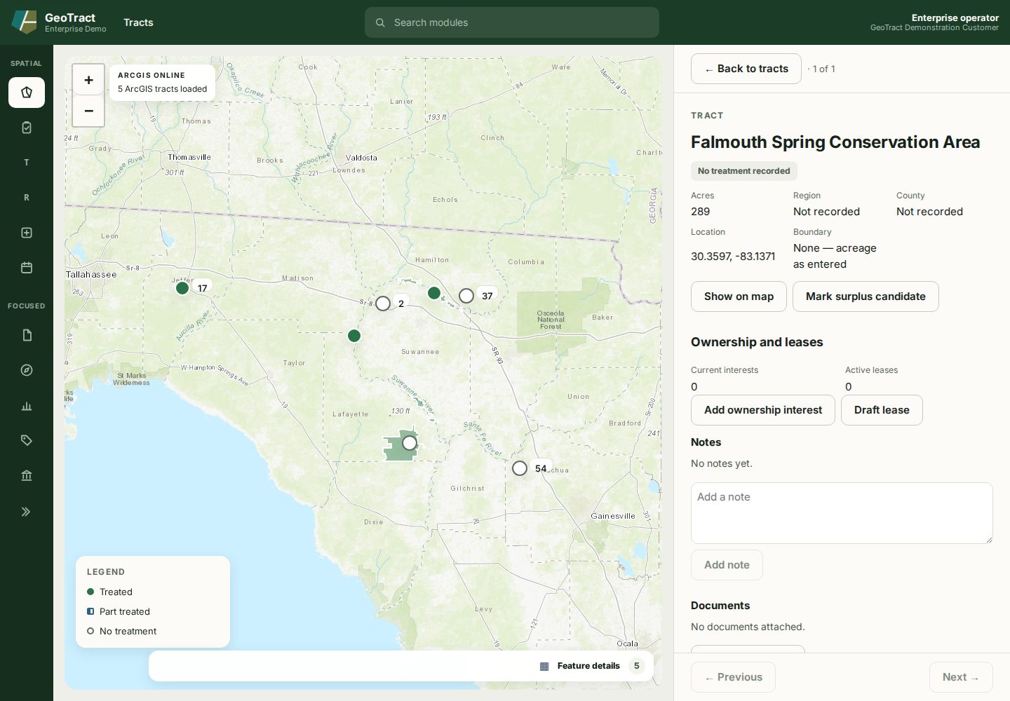
A tract record is the durable reference for managed land. Find the record in Tracts, then verify its name, acreage, region, county, location, and boundary before changing related information.
Correct a tract
Open the tract and select Edit details to correct its name, county, and region. A misspelled name otherwise follows the tract onto every list, map label, work order, and board packet that names it.
Acreage and location are not corrected here. Where a tract has a mapped boundary, its acreage is measured from that boundary — accepting a typed figure would let the stated area and the mapped shape disagree, which is the one thing deriving it prevents. A field left empty is cleared.
Corrections are attributed: the tract's history records who made the change and what the record said before, so a rename can be read back rather than inferred.
Ownership and leases
Use Add ownership interest for current or new interests and Draft lease for lease activity. Record effective dates and source documents in the appropriate workflow. Do not overwrite historical facts to represent a new interest.
Notes, documents, and map
- Show on map returns attention to the tract location.
- Mark surplus candidate requires a reason and makes the tract available to the disposition workflow; it does not dispose of the tract.
- Add note records context. Do not put protected data in a general note.
- Attach document files approved evidence against the tract.
A boundary is authoritative only when the record says one is present. If the detail says acreage was entered without a boundary, do not infer a legal boundary from the point marker.